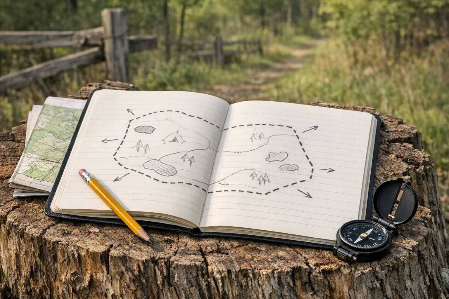
A simple line on a hand-drawn map from decades past can have unusual influence. It can determine where a stand of trees is located, where a trail passes through the property, what you say to your neighbors, where you park your vehicles on your property. These boundary lines are best managed with clear and up-to-date field notes that do not attempt to convey legal authority. Good records of decisions made on the property are valuable for avoiding mistakes and for establishing change on the property over time.
Start with the source of your boundary information
Find the source of the line before you update your notebook or mapping app. This source may be your closing packet, recorded plat, prior survey, tax map, fence, or even prior owner's hand sketched map of property lines. These sources are not of equal weight.
Note the source of your information in the field note. Write 'recorded document' next to information from a recorded document, 'visible fence' next to information from a visible fence, 'estimated from map' next to information estimated from a map, etc. This helps to distinguish an approximation from a fact that has been copied from a previous season's notes.
Land records can vary between local government offices and online records systems. The names of records and how they are mapped can also vary. Verify that the current records for the property are available and cross reference against the Parcel Description or Drawing. A Tax Map can give you an idea of where things are on your property but it was never intended to be used to establish a property boundary.
Build notes that another person can understand
Above and beyond the simple line on your screen for a boundary, your notes for a boundary would contain the date for the note as well as the name of the person who created it. In addition, there should be a description of the information that was used to create the note as well as your own subjective evaluation of how much you trust the note. Include as much descriptive information as possible for the surrounding land features, such as a gate, a creek, old roads, a fence corner, a place of drainage, etc. Be sure to distinguish between features that are along a line for a boundary and actually are a line for a boundary.
Use consistent labels. For example:
– Confirmed from an official document
– Observed feature that may indicate a line
– Approximate field location
– Question for the owner, neighbor, or survey professional
Photos can also be very useful. The photo should show the direction that the photo was taken from, and identify some recognizable feature in the distance. Save the original image, rather than re-cropping the screen shot to focus on a different part of the photo. Also, if possible save a copy of the map or note as it was when the photo was taken.
Old trees, fence posts, etc. do not make permanent boundary evidence just because they are old. Features and marks on the land change over time. So your evidence notes must describe what you saw and how you interpreted it, even if it did not support the boundary you suspected to be there.
Update after changes, not just once a year
Again, bear in mind that as events occur on the land which affect its use, such notes should be updated to take account of them. (The line itself may not have moved but the many cues that refer to it from time to time will have changed in some respect). See especially the sections on Additions and Changes and Discrepancies.
Go for a walk along the boundary and compare your observations with the information in your notes. Write down any differences you find and make a note of them. This may reveal problems with your information but at least you will know about them instead of unknowingly making assumptions. For example: "Fence continues east, but the line on the map is to go north of it".
Keep the old versions. Replacing all notes on the same point with completely new versions would remove all trace of the uncertainty's development. Storing notes in a simple dated folder, notebook or even digital archive is quite sufficient to record all observations before a gate is moved or a trail is removed.
Digital tools can be useful for cataloging observation points and related photos; however, location accuracy will vary with the device, signal strength, and map data used, as well as surrounding environmental cover. A single pin on a phone screen for example does not constitute sufficient evidence of a boundary, and needs to be clearly referenced as to purpose and reliability.
Know when a field note is not enough
Under normal stewardship circumstances it is perfectly acceptable to use boundary information that is approximate and note it as such. For instance a note might say, "Turn left at the old gate", or "Follow the yellow-blaze trail for 1 mile, then turn right", or "The southern boundary of this property is a fence line, follow it to the corner where it meets the seasonal stream".
When there is a dispute or some contingency is planned or proposed that requires the line of the boundary to be known with certainty (e.g. the construction of a fence, the granting of an easement, the sale and/or purchase of a property, timber rights, access rights and so on), then all the relevant boundary records must be reviewed by an appropriately qualified local person (e.g. a licensed surveyor, an attorney). Requirements and procedures for surveys can change from time to time within a jurisdiction.
By identifying the specific records that need to be reviewed, a property owner can know just when it's time to stop their own research and seek the help of a suitable local expert – for example, a qualified surveyor or attorney. Local rules regarding property surveying can change, so you must seek advice from the appropriate official source. As noted, an official survey may be necessary for a legal decision but not for simple property management notes.
Share the limits with everyone using the property
Boundary notes may fail. They must be handed out with warnings as to their date and their limitations. In case family members, hunting partners, forestry staff, contractors and other property users need to know something about the boundary notes in respect of the property in question, they must be briefed by the owner or manager.
Trying to share practical details about access points, hinges on gates, intermittent trails, etc. on a property with hunting land with family members and others can be done, but only with due warning as to what is confirmed and what is a working guess. And there are boundary notes and then there are property maps and these can be distributed much more freely.
There is nothing wrong with a map being homely, provided that there are adequate notes that distinguish between an observation and evidence. If sufficient detail is added to allow follow action over time then the map has performed its function. It must be remembered that boundary notes are simply useful field notes and should not be confused with an official survey.